Line of sight
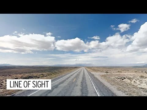
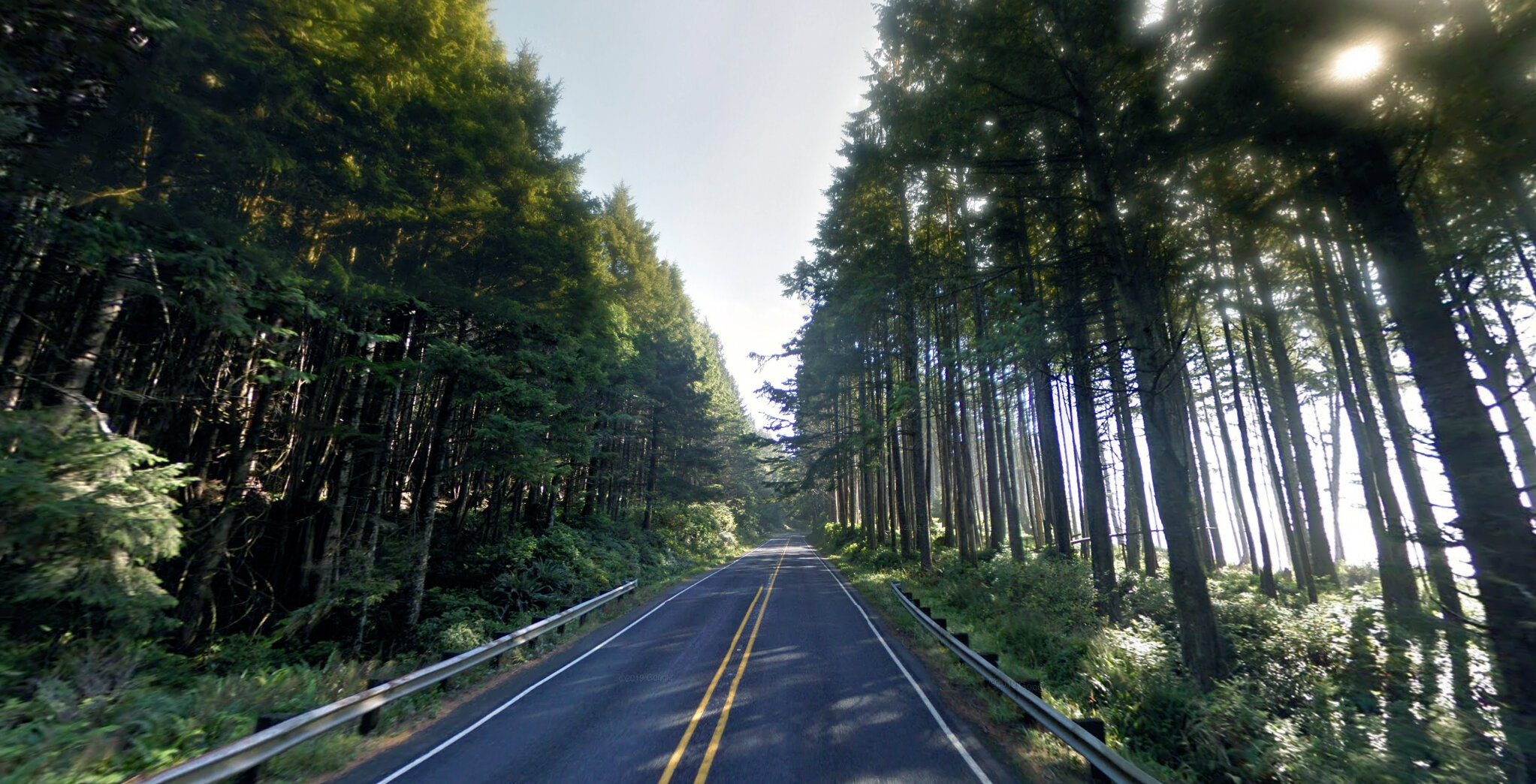
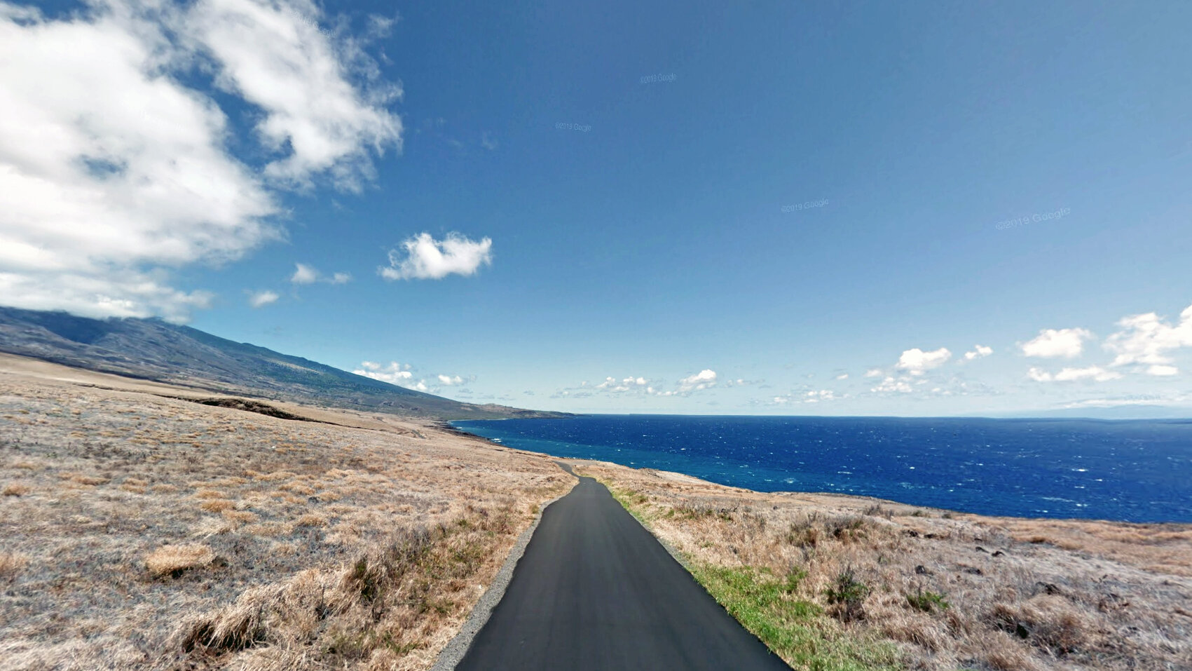
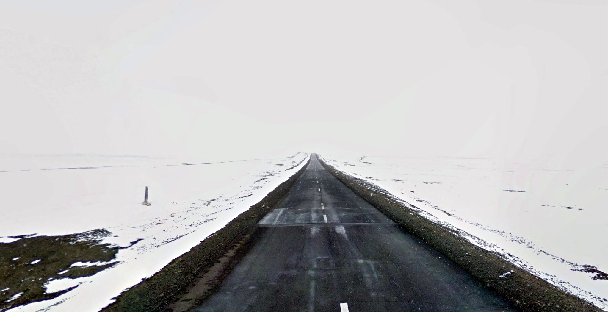
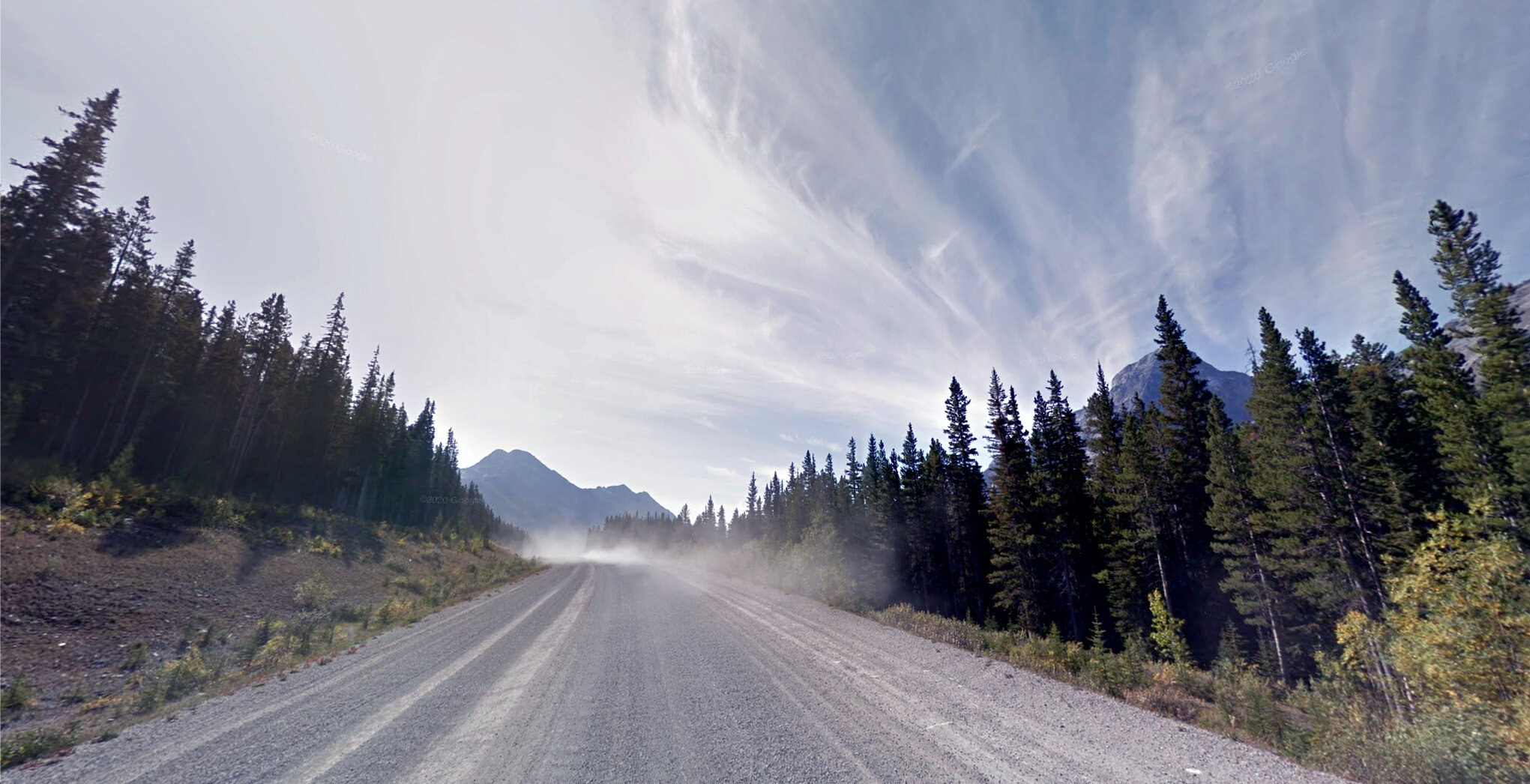
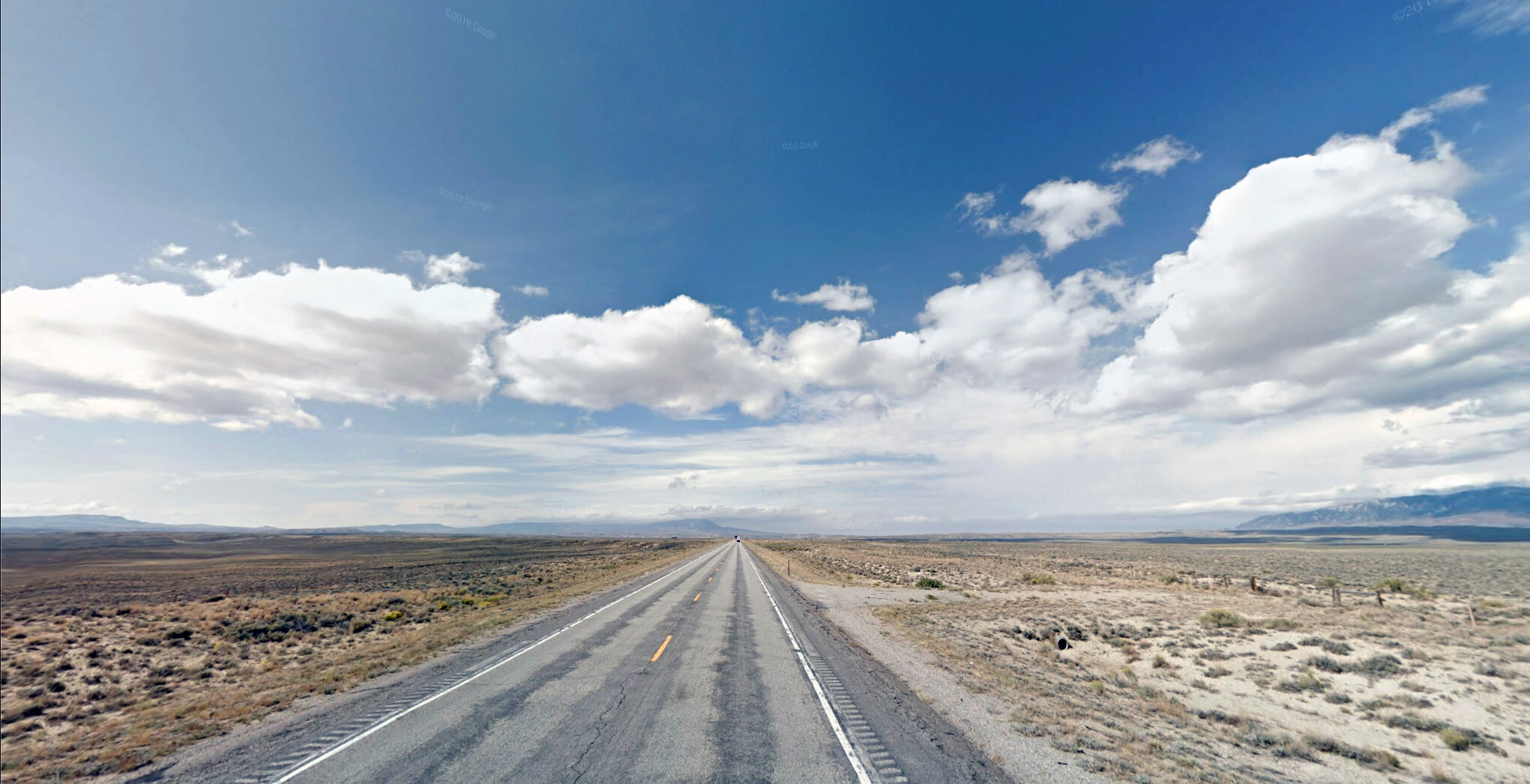
Line of Sight visualizes routes created by runners and cyclists from around the world (using data from the social fitness app Strava and imagery from Google Street View), through a first-person perspective.
In this moment of profound isolation on a global scale, travel has been limited to that which is “essential.” This limitation of physical agency-- the freedom to commute, exercise, and wander-- throws the few active rituals and routines we can maintain into sharper relief. The paths we choose to walk, run and cycle can be simultaneously banal and deeply personal. When viewed by others, they paint oblique portraits of our inner selves, and provide a glimpse into intimate moments of freedom and meditation.
Process
In mid-March I experienced Covid-like symptoms and was isolated to a 6’x8’ room for roughly 3 weeks. I developed this project during that time partly as a way to cope with the prolonged solitude and lack of movement.
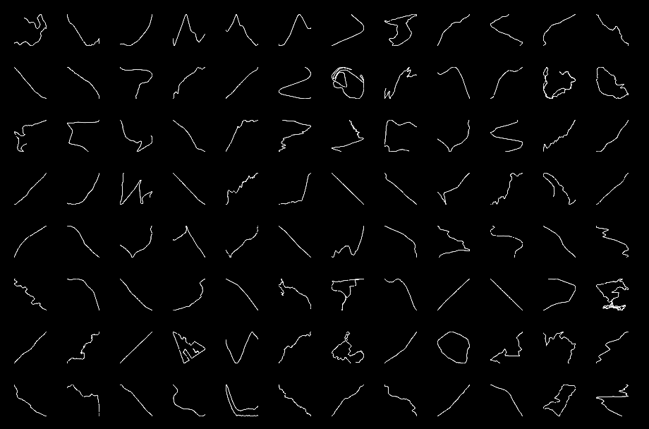
I collected the images by mining hundreds of thousands user-created routes on Strava. I used geographic coordinates for a selection of routes to download corresponding Google Street View images, and then stitched then together into videos. At the time of creating this project, Google’s Street View Image service only allows for a maximum resolution of 640x640.
Year: 2020