HyperBlocks
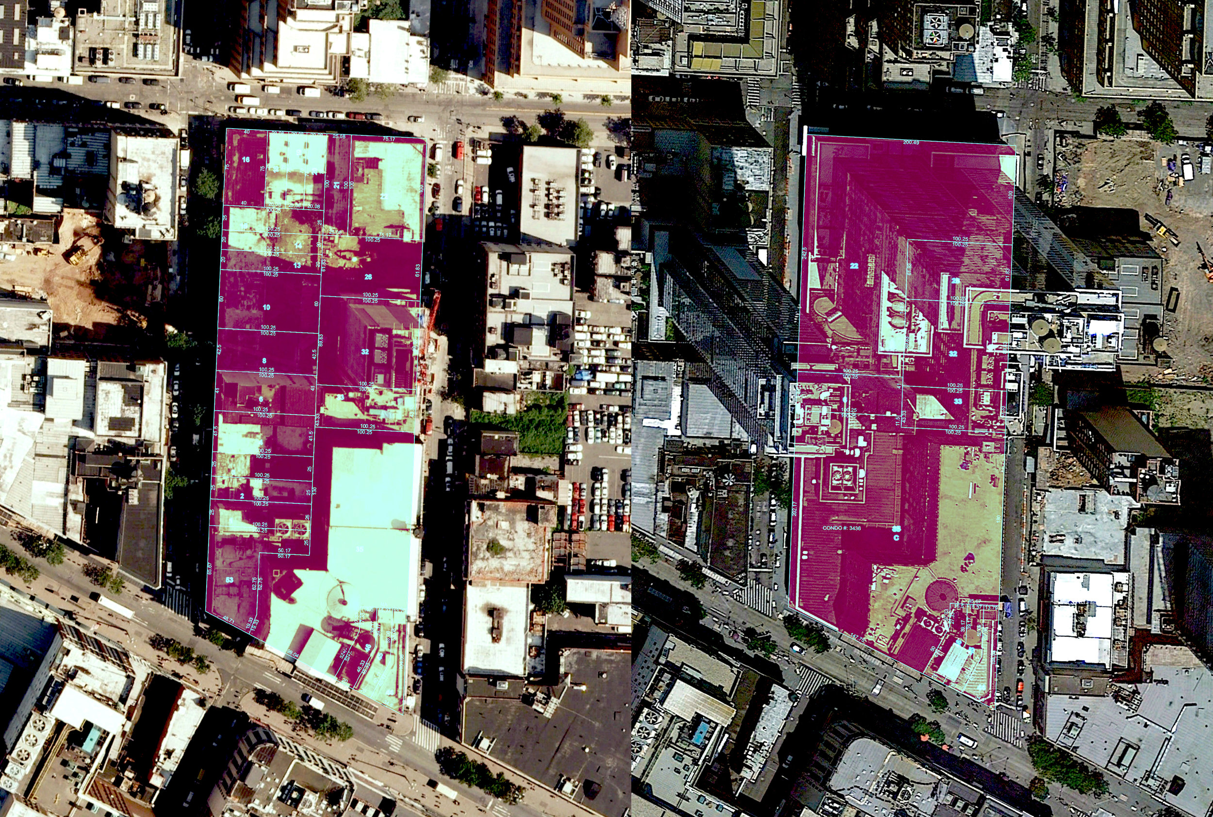
Hyper-Blocks uses open civic data to algorithmically reveal recently constructed or altered city blocks, with newly concentrated ownership of property. These city blocks go hand in hand with what some assert is a new form of gentrification, “hyper-gentrification” — one marked by corporations and governments, rather than individual residents, remaking the city. The heft of the new developments highlighted in the project, transcending traditional notions of single buildings, prompted me to call them “hyper-blocks.” These developments are often owned by a single developer, or are part of a larger development that spans multiple blocks.
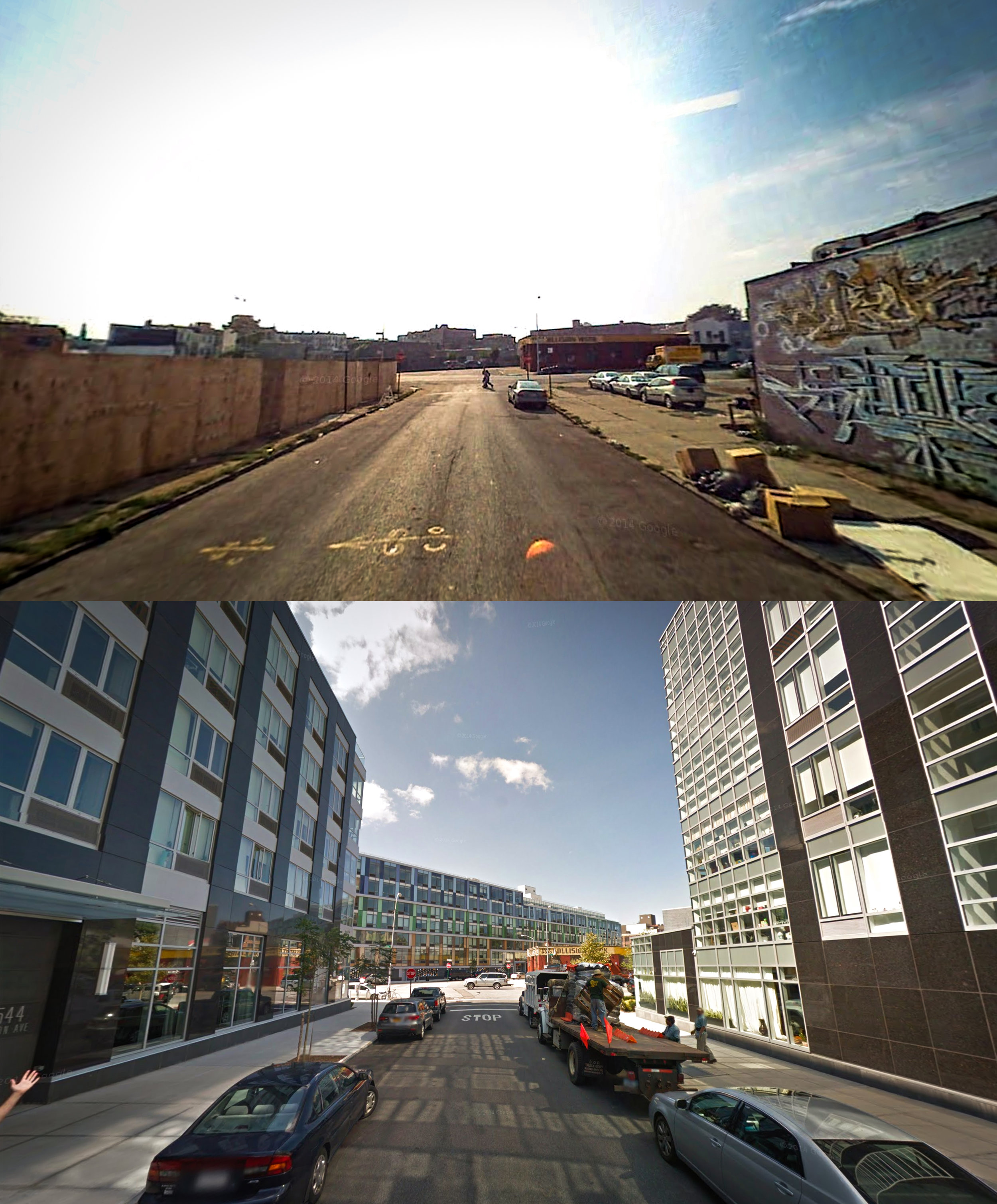
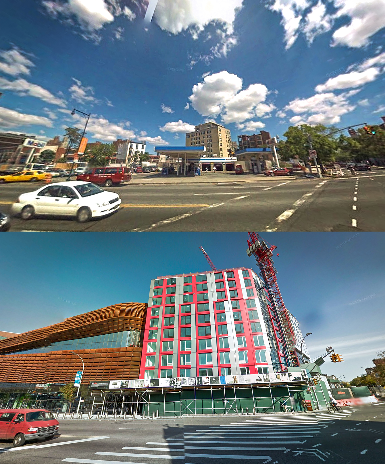
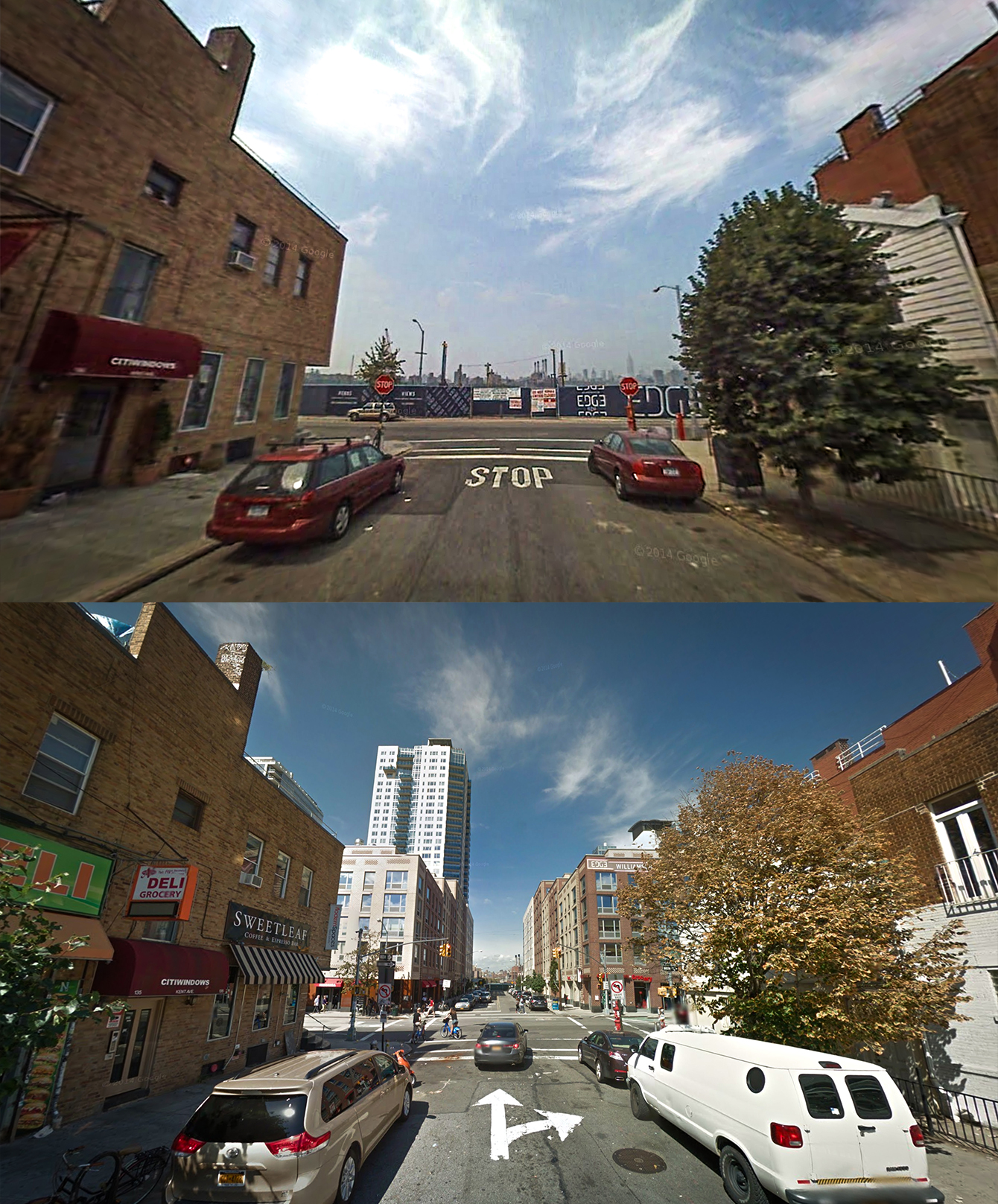
These hyper-blocks have fundamentally altered the fabric of Brooklyn neighborhoods and the built environment. Viewed from above, these developments mimic “superblock” planning revered in the mid-20th century, whereby large blocks form micro-neighborhoods. Such micro-neighborhoods provide residents with the recreational areas they needed to socialize amongst themselves, but also cut them off from the “outside” world.
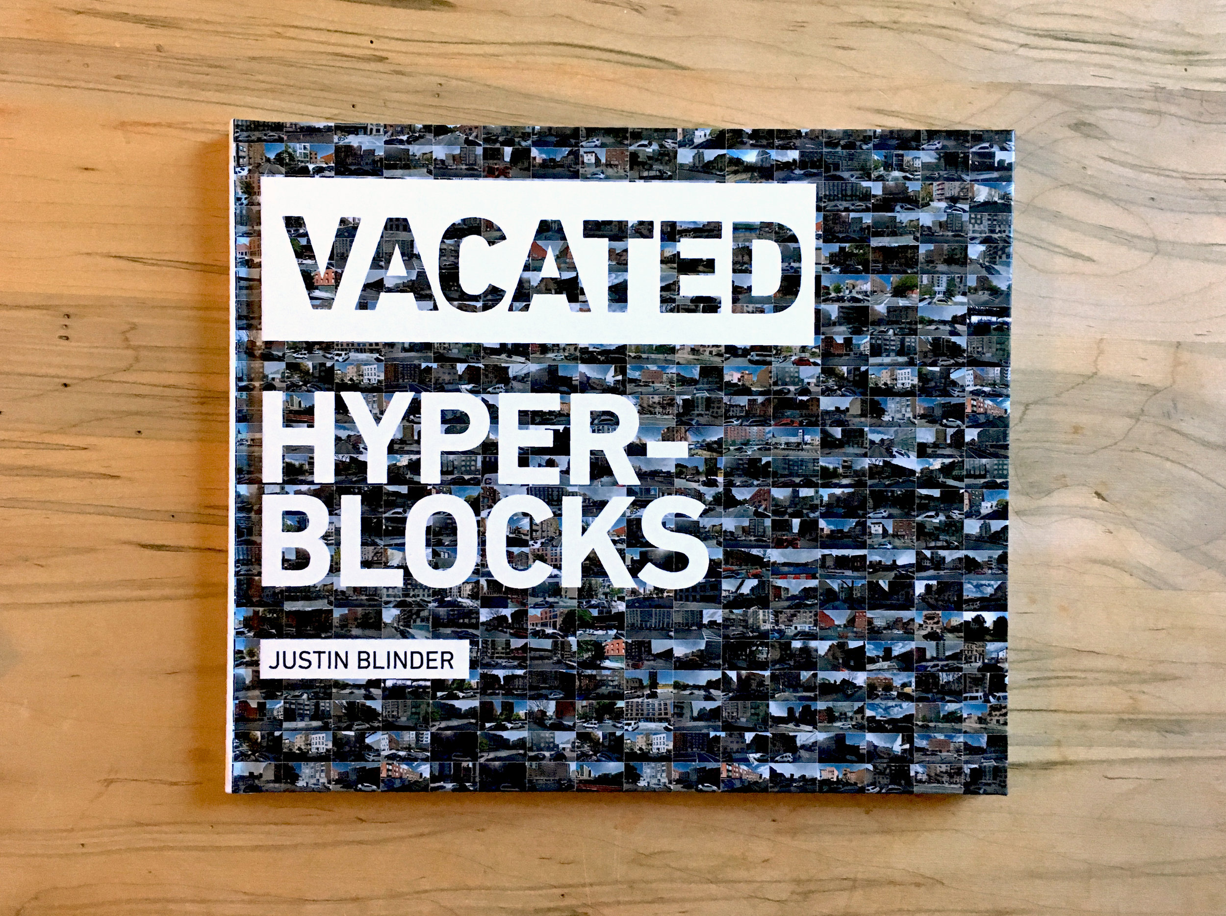
Hyper-Blocks is an extension of a project I began in 2013, Vacated, that visualized how zoning changes during former Mayor Michael Bloomberg’s administration transformed New York, from a street-level perspective. Vacated used civic data to mine cached Google Street View imagery, revealing photographs of urban change in New York City that had remained hidden in plain sight.
Process
Hyper-Blocks draws upon the NYC PLUTO dataset to group all property lots in Brooklyn into city blocks, which serve as the primary unit of analysis. It then searches for city blocks with at least one new building (constructed in the past 10 years, since Bloomberg's zoning changes). Finally, it aggregates city blocks with the highest numbers of residential units, but the fewest number of individually owned lots. This yields blocks that are often owned by a single developer, or are part of a larger development that spans multiple blocks.
Year: 2016